Leaving on an RV trip is like simultaneously preparing for house guests (our housesitter), moving (getting our motorhome ready for extended occupation), and going on vacation (stopping the newspaper & forwarding the mail, cleaning out the fridge, arranging for lawn care, packing, etc). Most of it has to be done just before we leave, so by the time we actually get on the road we’re always exhausted. Note to selfs: next time, plan for short mileage on the first driving day, not 350 miles like we did this time.
So our first stop was Bend, OR, in the high Cascades, where we spent 3 nights and recovered our energy.
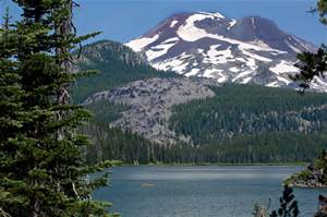
It’s a beautiful area but can be hot in August. Luckily for us a cold front was moving through, and we had cool temperatures and thunderstorms on Wednesday. Such a relief from the ridiculously hot summer we’ve been having in the Seattle area.
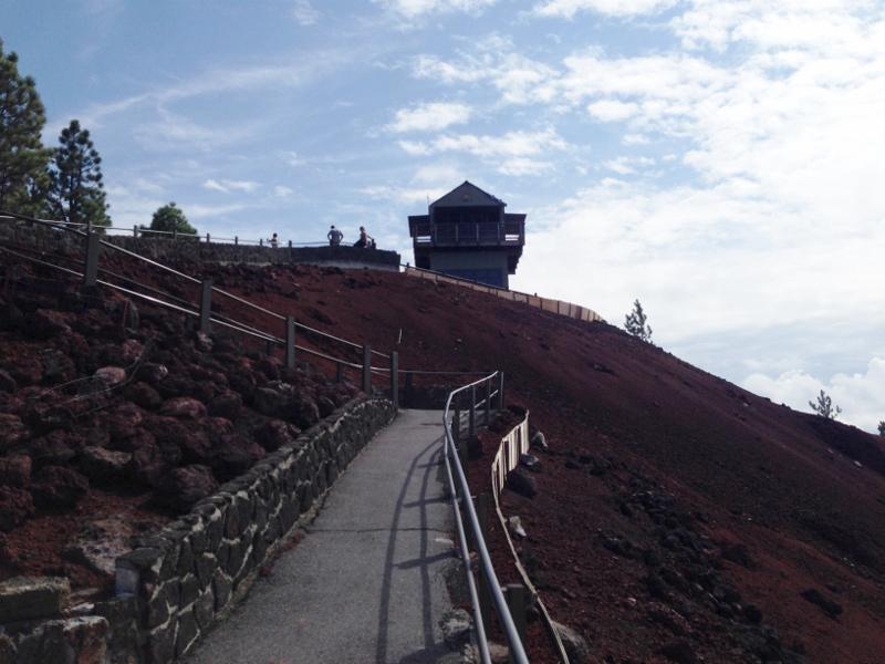
On Thursday we drove up to Lava Butte and began to learn about the extraordinary geologic history of central and south-central Oregon. Lava Butte is one of many cinder cones that erupted quite recently, about 7,000 years ago, from a fissure system nearly 17 miles long known as the NW Rift Zone.
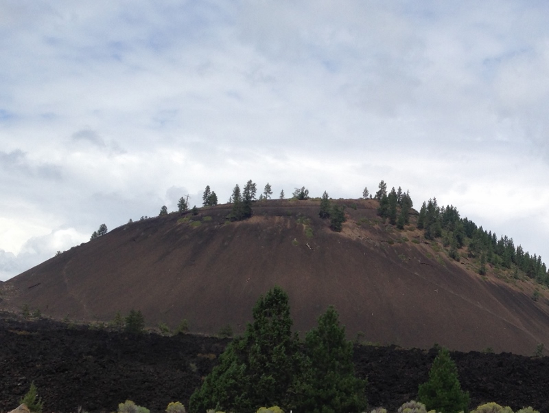
One of the really cool things about this cinder cone is that you can drive to the top of it, which we did. There are long views in every direction, including up to Mt Adams in WA, so It’s no wonder Lava Butte has been used as a fire lookout for many decades.
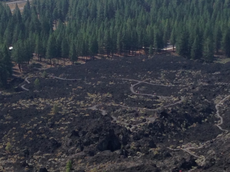
Cinder cones erupt from volcanic vents in this manner: rock fragments called scoria or cinders, which contain numerous gas bubbles, explode into the air and cool quickly. As their gas content diminishes, the cinder magma stops fountaining and instead hot basalt oozes from below the nicely rounded cone that was already formed, surrounding the cone with a river of molten basalt. There is some vegetation on Lava Butte, but there’s almost no plant life in the surrounding lava flow, which reaches to the Deschutes River about 2.5 miles to the west.
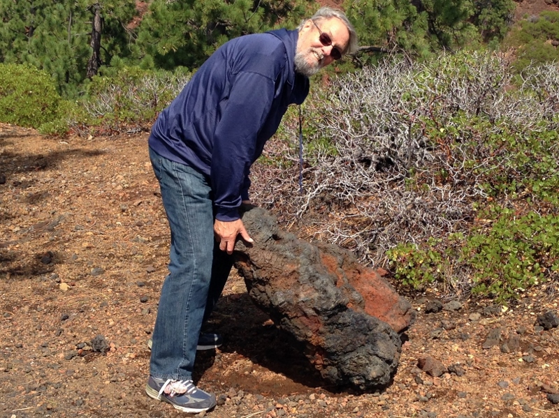
At the Visitor Center, we had learned about the different types of rock that result from volcanic eruptions of various kinds: andesite, basalt, scoria, obsidian, rhyolite, perlite (a form of rhyolite – yes, it’s the white dots in potting soil), pumice (another variety of rhyolite). We hiked around the concavity in the center of the dome, and Patrick was able to lift a large volcanic rock – either he’s stronger than we thought! or it was rhyolite.