Leaving the kingdom of Ruby’s Inn headed westward, for a while we continued to see pink Claron Formation beds and a few hoodoos. We turned south on US 89 and came into some geology we haven’t seen for a while, volcanics. There’s a basalt flow near Hatch and further west from us the huge Marysvale Volcanic Field, which was explosive about 66 million years ago.
We were following the Sevier River down its pretty little valley and saw several billboards advertising the best “Ho-Made Pies” ever at Mt. Carmel Junction. It was just about mid-morning coffee & snack time when we got there, so we pulled in. I’m always a bit skeptical concerning claims for exceptional pie, but willing to make an assessment. There were only two kinds, Hot Apple with Rum Sauce and Strawberry-Rhubarb (not counting creams and chiffons, which I don’t count because I don’t like them), so we split a piece of apple. So good! – outstanding crust, perfectly cooked filling, not too sweet. Just to make sure the apple wasn’t a fluke, I got a piece of Strawberry-Rhubarb to go.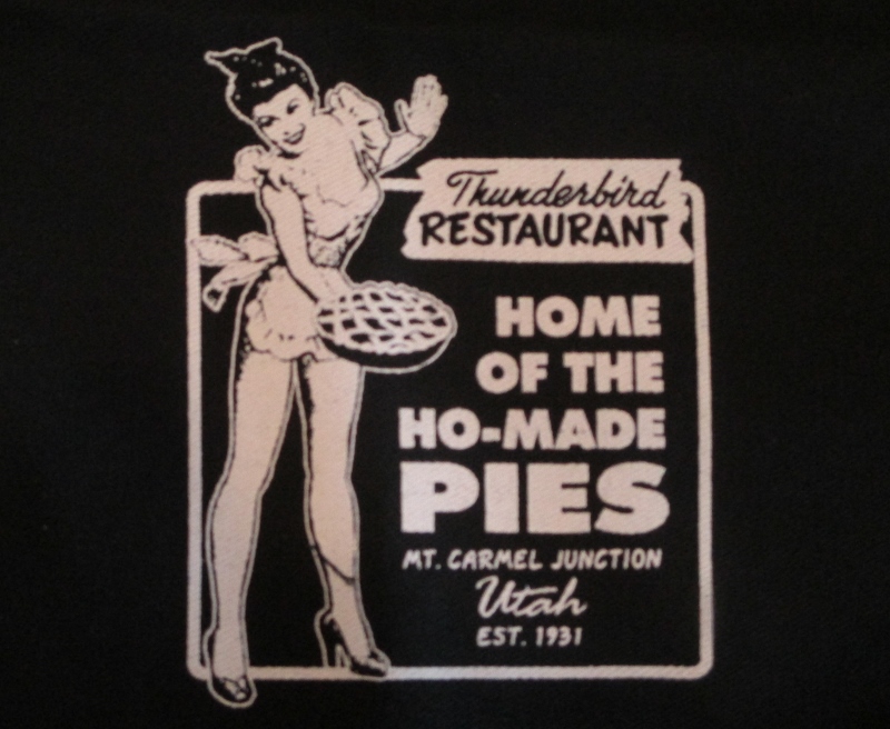
Turning west, we passed through several short tunnels that looked like arches: holes had been dug through the rock, then reinforced with concrete for stabilization to look like arches – clever!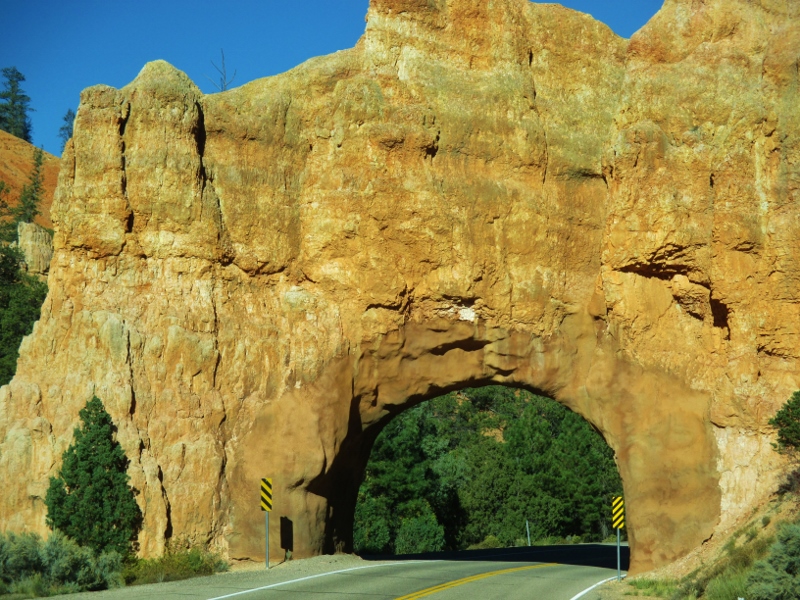
We entered the national park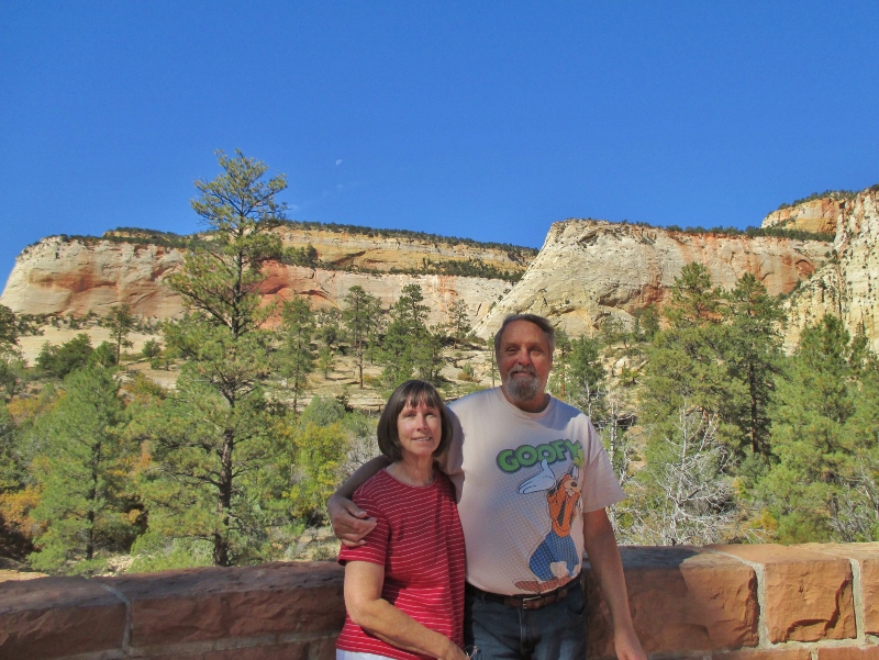
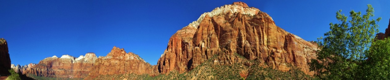
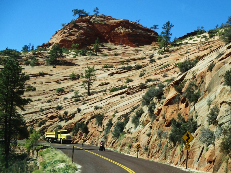
and immediately came to one of its landmarks, Checkerboard Mesa. The criss-crossed mountain towers 900 feet above the Zion-Mt. Carmel Highway and resembles a giant, extended checkerboard. The horizontal fissures (crossbedding) are due to a north-to-south wind direction during sedimentation, while the unusual vertical cracks are a result of cycles of freezing and thawing.
Immediately west of Checkerboard Mesa is Crazy Quilt Mesa, where the striations in the rock go different directions depending on long-ago prevailing winds and erosion continuing today.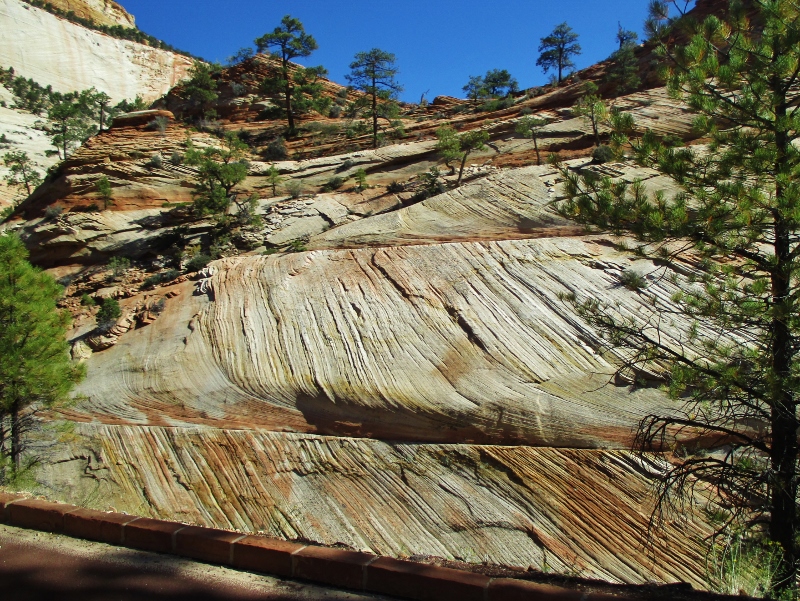
Next we came to the mile-long tunnel, built in 1927-30 using mining techniques rather than traditional tunneling techniques. The tunnel allows two-way traffic until a vehicle over 11.33 feet high or 7.83 feet wide (like our RV) comes along; then traffic is halted so that that vehicle (and cars that have accumulated behind it) can drive through down the middle. We paid $15 for the privilege, and the system seems to work well with few significant delays.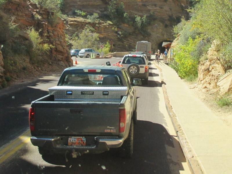
We came out on the other side: Wowie-zowie! Before us was a series of switchbacks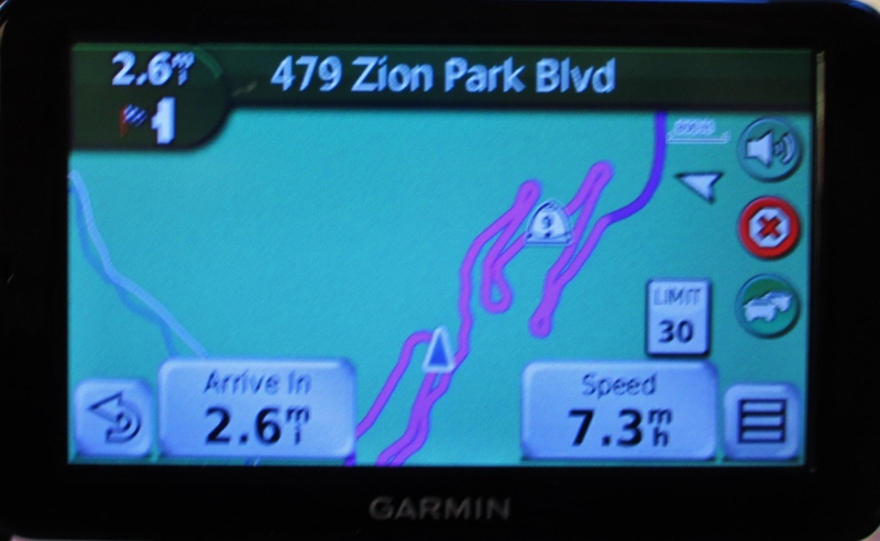
that led us back and forth beholding the breath-taking, ginormous, spectacular Triassic and Jurassic cliffs.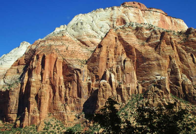
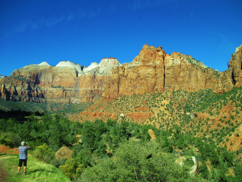
We saw familiar layers of sandstone, old friends now: at the top the 200+ million-year-old white crossbedded Navajo Sandstone, with the red ledge-forming Kayenta Formation interlayered sandstone and siltstone beneath it; the dark red Wingate Sandstone below; then beneath those, more red stone of the Chinle Formation with a band of Shinarump Member below that; and then the 248 MYO Moenkopi Formation under that, red with streaks of limestone.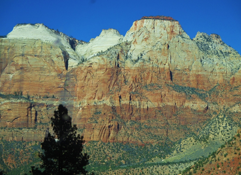
We’re so excited to begin exploring this beautiful country!