So where are we going on this trip? The itinerary took shape around two events: a reunion of my high school class and the annual “muster” of the retired military RV group that we went to Alaska with last summer. The reunion is August 23 in El Segundo CA, a beach town near Los Angeles, and the muster takes place a month later in Hemet CA, 100 miles southeast of El Segundo.
We decided not to drive south down the coast, which we did last fall, or down I-5, which we’ve done many times, but to go east of the Cascades down central Oregon, across the northeastern corner of California, through Reno where our friend Cheryl lives, and down the gorgeous eastern side of the Sierra Nevada Mountains, coming into the Los Angeles area from the east. After the reunion and before the muster, we’ll spend three weeks in one of our favorite places, Coronado Island, San Diego. After the muster, around the end of September, we’re going to drive east to Utah and spend as much time in the national parks there as we can before weather prompts us to return home, which we’ll do via Salt Lake City and Boise.
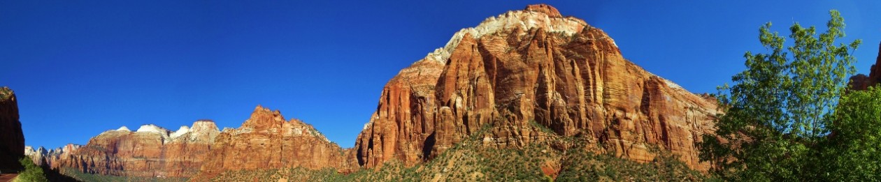
From Bend, the first leg of our route took us south-southeast on Oregon Hwy 31, a road so lonely that there’s no gas for a hundred miles, and for hours we saw only a few cars. Every rock along the way is volcanic. Does that mean the scenery is boring and lacking in variety? Not at all! We saw some of the most extraordinary rocks and landscapes in Oregon along this road.
About 17 million years ago, an enormous center of volcanic activity appeared in southeastern Oregon. Its edges probably reached into Idaho and Nevada and out to the Pacific coast at Astoria. Something caused enormous floods of molten basalt, more than 100 cubic miles of lava, to flow across the landscape within a day, or even hours. Was it a huge mass of especially hot rock rising through a weak spot in the earth’s mantle? Or was it an asteroid or comet that struck the earth’s surface and punched through it? No one knows for sure – those passionate geologists are still duking it out on behalf of their theories.
Fort Rock, southeast of La Pine, is one of the artifacts.
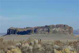
Today it looks like a ruined castle. It was created when basalt magma seeped from vents into the wet mud of a shallow lake that flooded the valley during the last ice age. Hot (1200 degree) magma hitting lake water powered a jet of steam that blew molten basalt into the air in a cloud of tiny rock shreds, like an enormous geyser. The basalt settled around the vent to make a ring of volcanic ash, an island in the lake, and then lake waves eroded the outside of the ring, leaving steep cliffs that look like a castle.
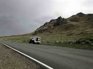
At the end of Hwy 31 we met Hwy 395, which will be our constant travel companion for some days now. We continued on into the northeast corner of CA, near the Nevada line, still in the volcanic Modoc Plateau, and spent the night in a nice little RV park in the nice little town of Alturas.
We visited the interesting little local historic museum and were sorry, although of course not surprised, to learn that the indigenous Modoc people were defeated and sent from this lovely if somewhat austere land to live in Oklahoma.